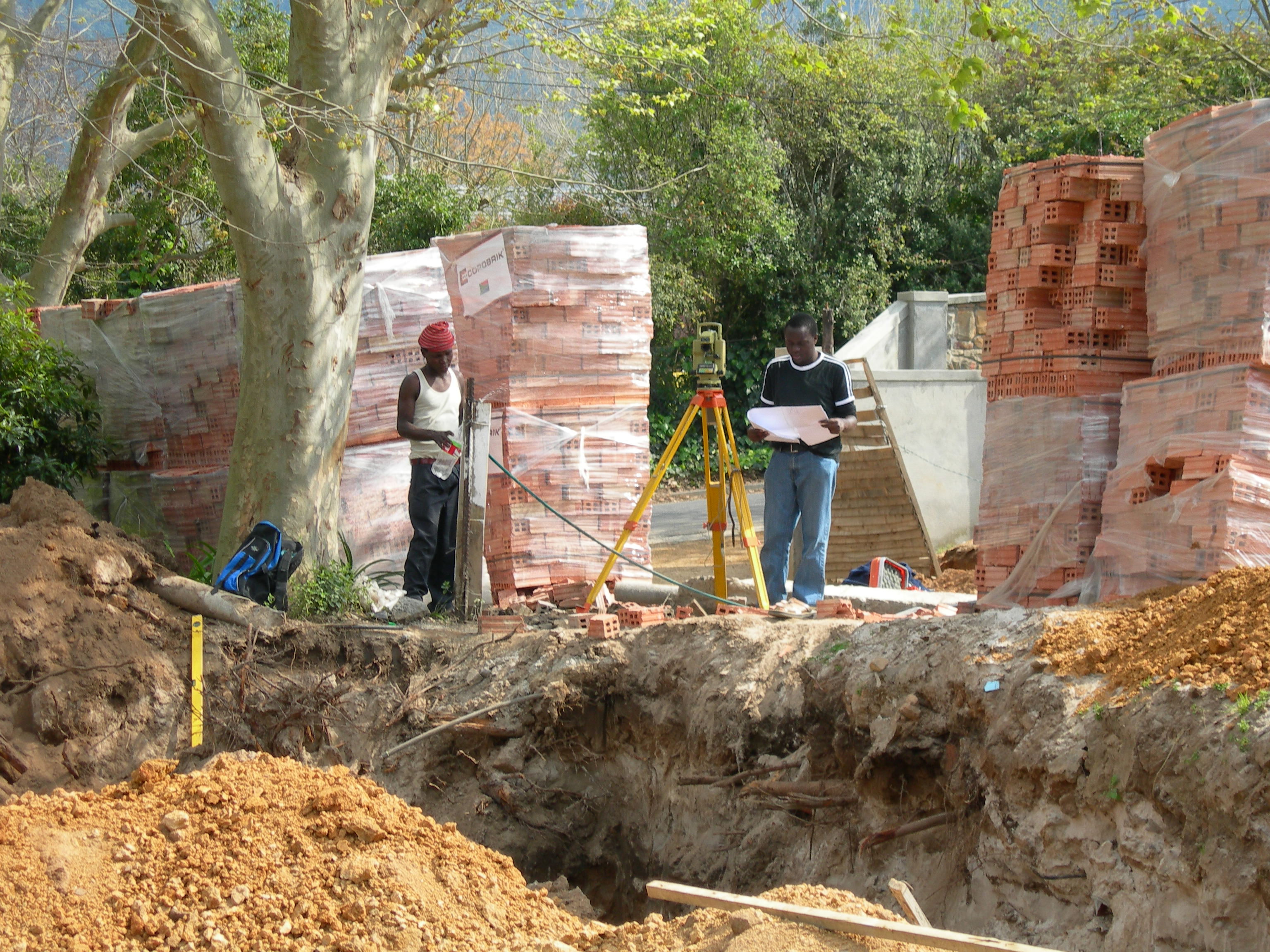
The company was founded originally as Kevin Musungu Geomatics in May 2010. It has now been rebranded to Ardhi Geomatics. ‘Árdhi’ is the Swahili word for land. The company was formed to provide a wide variety of consulting services in land development and land resource consultancy providing quality expertise in Geomatic Engineering as well as Land and Engineering Surveying.
Our vision is to be the foremost geospatial information service provider in Africa, providing tailor made geospatial information and integrated land management services, thus ensuring the client’s access to suitable resources, skills and expertise.
Our mission as Ardhi Geomatics is to provide accurate, timely, quality geospatial technical solutions with honesty and integrity which will add value to the clients of our organisation.
Quality Assurance of the work carried out by this organisation is important to us. Therefore, the principal members have a firm policy that at least one Director is personally involved in every project undertaken by Ardhi Geomatics. This policy guarantees the prompt resolution of any technical problems which may arise during the course of a project. It also ensures the availability of at least two senior personnel for the completion of any given tasks, and maintains a quality of output often not available from larger organisations.